
The South African Weather Service issued severe weather warnings for several provinces, including the Eastern Cape, Western Cape, Northern Cape and KwaZulu-Natal.
Heavy snowfall which may cause icy roads and traffic disruptions is expected in the Northern Highlands of the Eastern Cape, the Southern Highlands of the Northern Cape and the Central Karoo region of the Western Cape.
Flooding is expected to occur in parts of the coast.
Impact-based warnings:
– A level 4 yellow warning was issued in the evening for the Central Karoo, Garden Route, Cape Winelands and Overberg areas of the Western Cape, including the eastern west coast, with severe thunderstorms expected to cause large amounts of small hail and localised flooding of roads and settlements.
An Orange Level 6 alert is expected for the Eastern Cape coast and adjacent inland areas as heavy rainfall is expected to cause flooding of settlements, roads and bridges, temporarily isolating some communities and putting lives at risk.
– A level 2 yellow warning for severe thunderstorms accompanied by strong winds and hail is expected to be in effect for parts of the eastern Free State, Gauteng, northwestern KwaZulu-Natal and highlands areas of Mpumalanga.
– A level 2 amber warning for heavy rainfall leading to flooding of settlements, roads, low-lying land and bridges is expected to be in effect south of the escarpment and in the far north of the Eastern Cape.
– A level 4 amber warning for heavy rain causing flooding is expected to be in place for the southern coast of KwaZulu-Natal.
– An orange level 6 alert is expected in the north-eastern highlands of the Eastern Cape as disruptions from snowfall could cause losses of livestock and crops and lead to some communities being closed off.
– A level 2 amber warning is expected in the northern highlands of the Eastern Cape as snowfall is expected to cause icy roads and traffic disruptions.
A level 4 yellow warning is expected to be issued for the Southern Highlands in the Northern Cape and the Central Karoo in the Western Cape as snowfall is likely to cause damage to livestock and crops and make some mountain passes impassable.
– A Level 2 Yellow Warning is expected along the coast between Cape Point and Richards Bay, with damaging winds and waves causing localised disruption to ports and harbours, difficult driving on coastal roads, choppy seas and possible damage to exposed bayside infrastructure.
Good Morning, Weather Lovers, Please be aware of the severe weather warnings that will be issued over the next few days. Please adhere to the weather warnings and stay safe. Please share with us the weather conditions that you are experiencing in different parts of the world.#EarlyWarning pic.twitter.com/HVFrRitv88
— SA Weather Service (@SAWeatherServic) June 2, 2024
advice:
Very cold, rainy and windy weather, accompanied by snowfall, is expected in the Southern Highlands of Namakwa District and the Southern Highlands of the Northern Cape, the central and eastern interior of the Western Cape, the Northern Highlands of the Eastern Cape and the central and southern parts of the Free State until Tuesday.
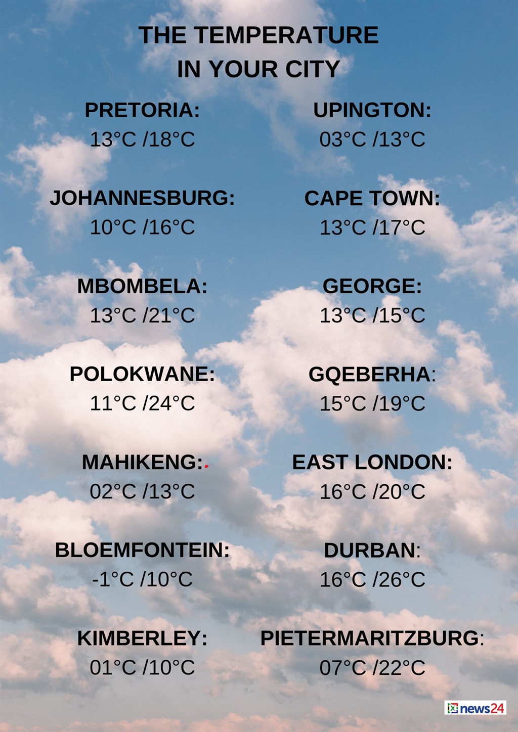
Weather in your area
Gauteng It will be cool in the north, cloudy and cold elsewhere with scattered showers and thunderstorms in the morning, becoming partly cloudy in the afternoon.
The expected UVB sunburn index is high.
Mpumalanga It will be cloudy with cool temperatures and scattered showers and thundershowers, but they will be more scattered in the Southeast, clearing from the west by late afternoon.
Mostly cloudy and cool to warm, but mostly cloudy in the Southeast. Limpopo There will be scattered showers in the morning, clearing from the west in the afternoon.
Northwest Except in the far northwest, it will be partly cloudy and cool to cool with isolated showers and thunderstorms.
Expect cloudy skies and cold weather. Free StateShowers and thunderstorms will be scattered but more scattered in the west.
The Northeast will be cloudy. Northern CapeIt will be cloudy and very cold to cold with scattered showers and thunderstorms.
Widespread rain will fall in the south, with snow expected during the day.
Generally, windy conditions are expected.
Winds along the coast will be moderate to strong from the west to northwest.
Western Cape It will be cloudy and cool with showers and thunderstorms widespread but scattered in the northwest.
Snow is also expected to fall on mountain peaks in the northern Central Karoo.
The wind will be stronger overall.
Winds along the coast will be strong easterly east of Cape Agulhas until late morning, otherwise strong northwesterly to westerly, reaching gales at times on the west and southwest coasts.
The expected UVB sunburn index is low.
Western and Eastern Eastern Cape It will be cloudy and cold with scattered showers and thunderstorms, but widespread along the Wild Coast.
Winds along the coast will be light to moderate from the northeasterly in the morning, changing to a northwesterly in the afternoon.
KwaZulu-Natal It will be cloudy with widespread showers and thunderstorms.
Strong northeasterly winds will blow along the coast, becoming very strong in some places.
The expected UVB sunburn index is very high.